Dated alert
The parcel, and the date of the pass that first showed a scrape. It is the cue to make first contact, and it can go into the same place you keep your call list.
Earthworks Alerts checks the parcels on your watchlist every week and sends a dated alert, with a before and after image, when topsoil is first stripped. Your call goes out while the site is still a field.
Your call list is built from what everybody in the territory can read. A permit goes up on the county portal, or a site plan gets approved at the planning board, and by Friday every rep who covers that county has it in a spreadsheet. It tells you the job is real. It doesn't tell you when it starts. Between an approved plan and the first excavator on site there can be weeks of financing, bidding and waiting on a contractor, and nothing in the permit record marks the day the work becomes real.
So the rep drives. You take the long way past the parcels on your list on the way to a delivery, and sometimes you find fresh dirt and a stake line. Sometimes a contractor mentions in passing that they started Monday. Sometimes you walk into the weekly pipeline call and the manager says a competitor already has the concrete on that job, and the fill, and the rental yard. By the time a site looks like a construction site, with fencing, a trailer and a silt fence, the first orders have gone to whoever phoned first.
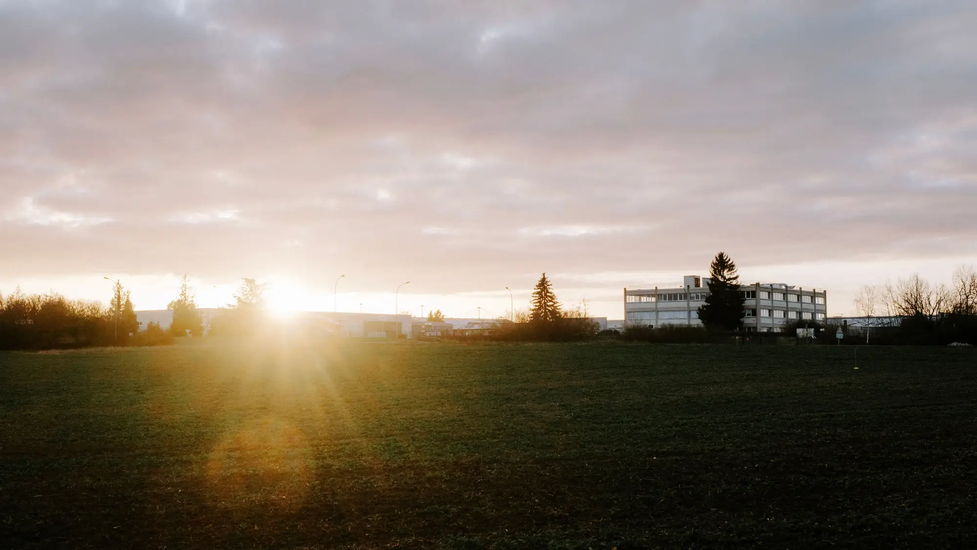
The first scrape is the earliest thing on the ground you can point to. Topsoil comes off, the ground turns pale and bare, and the field looks different from the week before. That is a change a satellite can see. Earthworks Alerts watches your parcels for it and tells you the week it happens, so the first call is yours to make.
A pilot covers the parcels or territory you put on the watchlist. Alerts come from a weekly imagery pass and are written for the rep, not the analyst.
The parcel, and the date of the pass that first showed a scrape. It is the cue to make first contact, and it can go into the same place you keep your call list.
The pass before the change beside the pass that showed it, so you can see the bare ground for yourself before you pick up the phone. Nobody has to take the alert on trust.
Every parcel on your list is marked quiet, scraped or active. Quiet means nothing has changed. Scraped means a first scrape was flagged. Active means the ground is still being worked. Bring it to the weekly pipeline call and you can see which parcels moved since last week.
Area in. Send the parcel list or the territory you want watched: parcel IDs, addresses or a boundary. Say which parcels come first.
Imagery. A high-resolution satellite pass over your parcels, once a week.
Analysis. Each pass is compared with the one before. Parcels where bare, stripped ground has appeared are flagged.
Delivery. A dated alert with the before and after images, sent the week the pass shows the change. We agree with you how it reaches you and who gets it.
Run the watchlist ahead of the weekly pipeline call. A first-scrape alert goes at the top of the call list. Phone the owner, the general contractor or the excavation sub before the site is fenced and before the competitor's rep has driven by. Parcels marked quiet stay where they are on the list, waiting on the permit and the financing.
Use it alongside the permit board, not instead of it. The permit tells you who is likely to build. The alert tells you the work has begun.
Earthworks Alerts detects ground disturbance. It does not say who is building, who owns the parcel or what is being built. Finding the contractor is still the rep's job.
An alert arrives the week a pass shows a scrape. How much notice that gives you before the site looks built depends on the job and on when the pass falls. We promise no set count of weeks.
The target is weekly, and it is a target. If cloud covers a parcel the day of the pass, its alert waits for the next usable pass.
A parcel that is heavily wooded can hide the first scrape under canopy. A parcel that is already bare, from farming, a borrow pit or an earlier project, has no clean before to compare with, so a new scrape is harder to pick out.
Imagery is between 0.5 and 2 m per pixel. A stripped area of a few thousand square feet is visible. A single test pit, a survey stake line or a pad the size of a shed is not.
This is offered as a pilot on parcels you choose. It is not a national watch and it does not cover every parcel in a county.
It varies by site and by when the imagery pass falls. We don't promise a fixed number of weeks. What you get is a dated alert for the week the pass showed the scrape.
No. We detect ground disturbance, not permit or ownership data. Use the permit board and county records to find the name.
No. It is change detection from satellite imagery. It doesn't read permits or connect to any permit system.
Dense canopy can hide a first scrape, and bare ground that is already there leaves no clean before-and-after to compare. Those parcels are harder to call, and the alert may come later or not at all.
Yes. The weekly pass is a target. If there is no usable pass over a parcel, its alert waits.
Give us a few parcels where you know when the work started, and don't tell us the date. Compare our alert dates with yours and decide whether the timing is good enough to work from.
We agree the delivery with you at the start of the pilot. We don't write into your CRM directly.
Ownership and licence terms for the alerts and the imagery are written into the pilot agreement before anything is ordered. Ask for them early if your legal team needs to read them.
It depends on the number and size of the parcels and the area. We price it for your watchlist. There's no number on this page.
Tell us which parcels you'd watch and how you'd want the alert to reach you. We'll tell you whether a pilot fits.
Start a pilot